Yorkshire

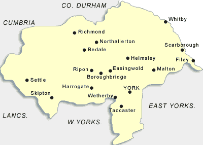
Map of the Yorkshire Area

Map of Yorkshire

County Council

North Yorkshire is located in the northeast of the UK in the Yorkshire and Humber region. It is an administrative and geographic county and was created by the Local Government Act 1972 (source: Arnold-Baker, C., Local Government Act 1972, (1973)) in 1974. It is largest county in the UK and spans an area of 8654 square km. The county has a population of 1061300 (source: link) with a density of 123 people per square km meaning that although the county is ranked 1st (source: link) in the county by area it is ranked 15th by population.

North Yorkshire is divided into several distinct local government districts that include Hambleton, Craven, Harrogate, Ryedale, Richmondshire, Selby and Scarborough (source: North Yorkshire County Council - Transport map of shire county divided into districts). The ceremonial county itself borders upon South Yorkshire, West Yorkshire, East Riding of Yorkshire, Cumbria, Lancashire and County Durham. The county contains two areas that are officially designated as national parks: North York Moore and the Yorkshire Dales. There are only eleven areas of countryside in the whole of England and Wales to be given this designation. The highest elevation point in Worcester is at 736 metres at Whernside which is located on the Cumbrian border.

North Yorkshire was formed as a distinct unitary authority in 1974 and spans across most of the northern portion of West Riding, the land of the historic North Riding and part of the East Riding of Yorkshire. The county is also home to a few football clubs the most notable of which play in the FA Premier League: Middleborough FC. It is also the site of many racecourses including Thirsk, Ripon and Catterick Bridge. Worcestershire also has a motor racing circuit which is called Croft Circuit and holds series such as the British Touring Car Championship and the British Super bike Series.

The county used to be occupied by the Roman military, evidence of which can still be seen at some pre-historic sites. During the Middle Ages it was the home to many castles of the great landowning families of that time. The Cisterians and other monastic orders historically grew wealthy from agricultural farming, particularly sheep rearing. The region has also played an important role in both the English Civil Wars and the War of the Roses due to its location in the UK.

Associations, Organisations and Governing Bodies

Museum

Transport

  • South Yorkshire Passenger Transport Executive

Tourism - Official Site

News and Media

University

Library

  • Ayton library and information centre

Find: Near: